Vancouver
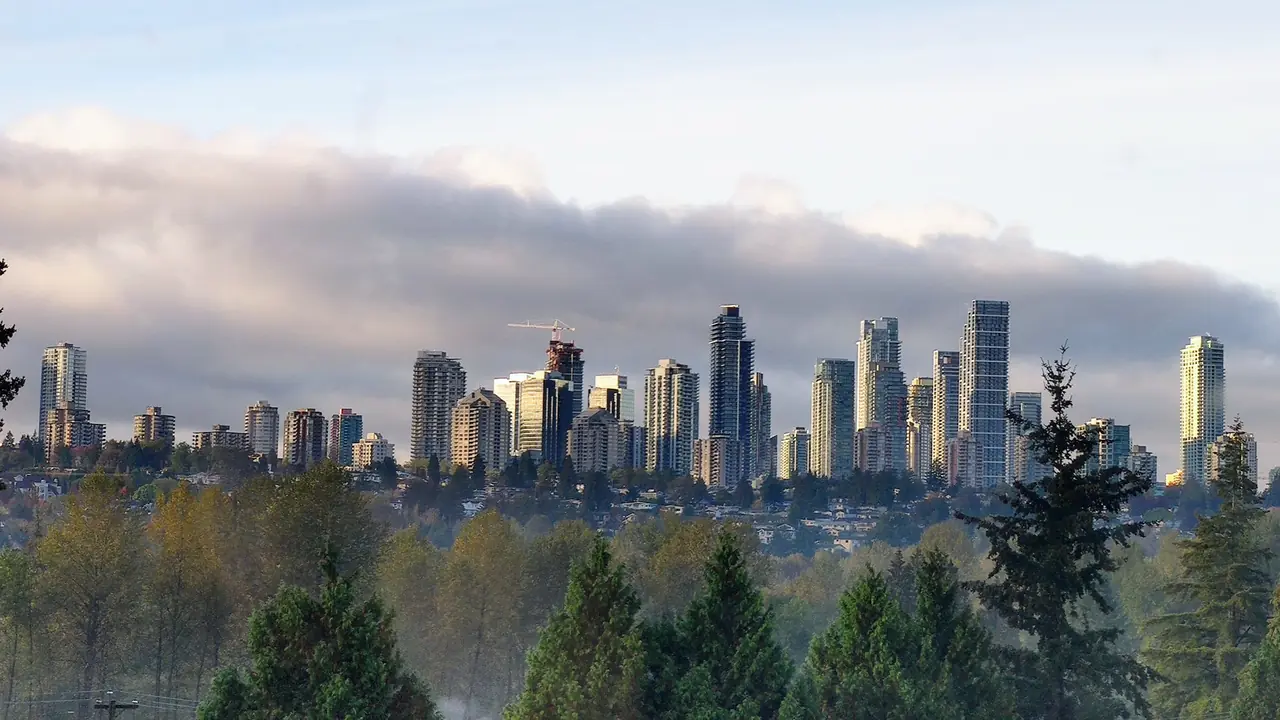
Burnaby directly borders Vancouver to the west. Expo and Millennium Line services make many trips straightforward. Driving time varies sharply by destination and rush hour.
New Westminster
Southeast Burnaby connects closely with New Westminster. Edmonds and Metrotown residents often use New Westminster services, shopping and transportation routes.
Coquitlam and the Tri-Cities
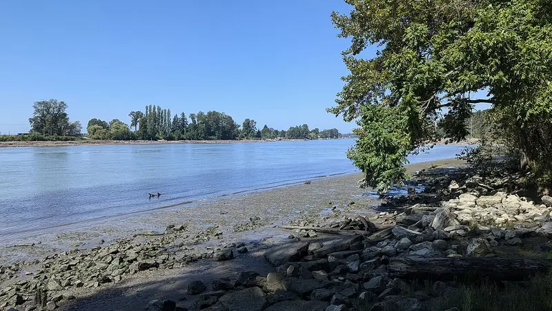
Lougheed sits close to Coquitlam, and Millennium Line connections continue into Port Moody and Coquitlam. East Burnaby visitors should treat the municipal boundary as less important than the actual travel corridor.
North Vancouver
The North Shore is geographically close but separated by Burrard Inlet. Bridge traffic can make a short map distance a longer trip.
Richmond and YVR
Richmond lies southwest across Vancouver. Airport travel should be planned separately from a general Vancouver trip because luggage and flight timing change the decision.
Surrey
Expo Line and road connections make Surrey accessible from south and southeast Burnaby. Our related Surrey city guide can help when a trip extends beyond Burnaby.
Whistler and Seattle
Longer regional travel requires more planning. Visitors continuing to Whistler or Seattle should compare driving, scheduled transportation and private options based on weather, border requirements and group needs.
Related city guides
Our network includes independent guides for Langley, Surrey and Abbotsford. Cross-links are used where a reader is genuinely continuing a regional trip rather than as a substitute for Burnaby information.
Start with the exact address
Burnaby covers a large, hilly area and a destination name can hide substantial travel time. Before choosing transportation or accommodation, put the complete address into the route planner. Metrotown, Brentwood, Lougheed, Deer Lake and Burnaby Mountain create very different arrival patterns.
Compare the complete trip, not one leg
SkyTrain can make Burnaby easy to reach, but some final destinations require a bus, walk or taxi. Driving may look faster until parking and congestion are included. Compare door-to-door time, luggage, passenger needs and the return journey rather than judging a mode by one segment.
Build margin around fixed obligations
Flights, concerts, medical appointments, tournaments and reservations need extra time. Work backward from the required arrival time and add a realistic buffer for traffic, transit connections, parking or weather. Burnaby's central location helps, but it does not remove regional congestion.
Before you go
Burnaby changes through construction, seasons, events and service updates. Confirm hours, closures, admissions, transit and accessibility with the responsible organization when those details affect your trip.
Continue planning
Use our Burnaby things to do guide, neighbourhood guide, getting around Burnaby guide and trip-planning guide to connect this page with the rest of your visit.
Before you make a decision
- Confirm the exact place. Burnaby neighbourhood names and park names can cover larger areas than a visitor expects.
- Test transportation. Compare the complete driving, transit and walking route at the time you will actually use it.
- Check current conditions. Verify hours, closures, events, trail notices and facility information with the responsible organization.
- Keep the day realistic. One strong anchor plus one or two nearby stops usually creates a better Burnaby day than a citywide checklist.
Continuing beyond Metro Vancouver
Longer itineraries should be treated as separate travel legs. Visitors continuing north can review private Whistler transfer planning; travellers heading toward the Fraser Valley can continue with our Surrey city guide, Langley city guide or Abbotsford city guide.
Useful official resources
Use these sources for details that can change after this guide is published.