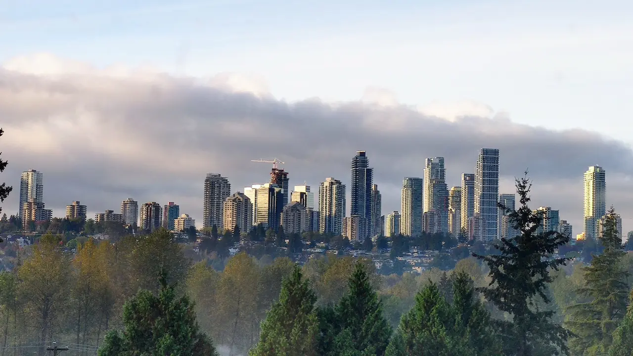
Burnaby is a city of distinct centres
Metrotown, Brentwood, Lougheed and Edmonds are the four major town-centre areas, but they do not offer the same experience. Established communities such as Burnaby Heights, Capitol Hill, South Slope, Deer Lake, Lake City, Montecito and East Burnaby add another layer. Visitors should choose an area based on the places they actually need to reach.
Metrotown
Metrotown is the largest and most intensely urban centre. It has Expo Line access, major retail, restaurants, high-rise housing and proximity to Central Park. It suits people who value transit and services, but traffic, crowds, construction and a dense urban environment are part of the trade-off.
Brentwood
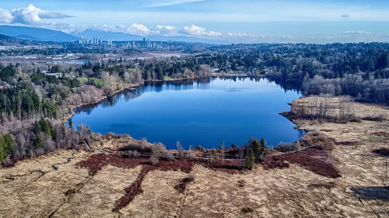
Brentwood is a rapidly redeveloping north Burnaby centre on the Millennium Line. New towers, retail and restaurants have changed the area substantially. It is convenient for north Burnaby and Vancouver connections, though construction and busy arterials remain important considerations.
Lougheed
Lougheed sits near Burnaby's eastern edge and connects naturally toward Coquitlam. Rapid transit is a major advantage. The area is increasingly high-density, and the exact walking distance to the station matters more than the broad neighbourhood name.
Edmonds
Edmonds is a diverse southeast Burnaby community with Expo Line access, recreation, schools and established residential areas. It is useful for people travelling toward New Westminster and provides a different, more neighbourhood-oriented feel than Metrotown.
Burnaby Heights and north Burnaby
Burnaby Heights is centred on Hastings Street and has a traditional commercial district with independent shops, food and community character. Nearby Capitol Hill, Confederation Park and access toward Burnaby Mountain make north Burnaby worth treating as its own planning area.
Burnaby Mountain and SFU
The SFU community is physically and functionally distinct. Elevation creates cooler weather, hills and a bus-dependent connection to lower Burnaby, while the university provides services, events and a strong walking environment on the mountain.
Deer Lake and central Burnaby
Deer Lake is less about a commercial centre and more about civic, cultural and natural destinations. It is a strong visitor area but should not be confused with the high-density town centres when comparing daily services.
What to compare before choosing an area
Check transit after 9 p.m., the actual walking route, hills, grocery access, parking, school needs, recreation and the direction of the daily commute. A neighbourhood that is excellent for one household or visitor can be inconvenient for another.
For newcomers: test the routine before committing
Visit the immediate neighbourhood at the hours you expect to use it. Travel to work or school, buy groceries, check a recreation facility and walk the route to transit. A weekend impression does not reveal an early-morning commute, evening traffic or the hill between a home and the station.
Address-level research matters
Neighbourhood descriptions are useful first filters, not housing advice. Buildings on the same street can differ in age, parking, noise, rules and accessibility. School catchments, development proposals and transit routes should be verified through current official sources.
Know which information changes fastest
Programs, school boundaries, road construction, development applications and service schedules can change after a guide is published. Use Burnaby-BC.ca for context and use the City, school district, library, TransLink and other responsible organizations for the current operational detail.
Before you go
Burnaby changes through construction, seasons, events and service updates. Confirm hours, closures, admissions, transit and accessibility with the responsible organization when those details affect your trip.
Continue planning
Use our Burnaby things to do guide, neighbourhood guide, getting around Burnaby guide and trip-planning guide to connect this page with the rest of your visit.
Before you make a decision
- Confirm the exact place. Burnaby neighbourhood names and park names can cover larger areas than a visitor expects.
- Test transportation. Compare the complete driving, transit and walking route at the time you will actually use it.
- Check current conditions. Verify hours, closures, events, trail notices and facility information with the responsible organization.
- Keep the day realistic. One strong anchor plus one or two nearby stops usually creates a better Burnaby day than a citywide checklist.
Useful official resources
Use these sources for details that can change after this guide is published.