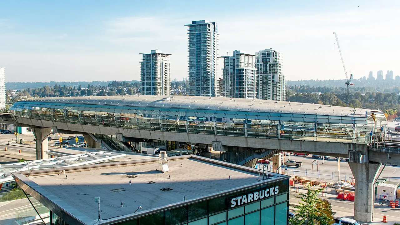
Rapid transit is strong but incomplete
The Expo Line serves Metrotown, Patterson, Royal Oak and Edmonds areas, while the Millennium Line serves Brentwood, Holdom, Sperling-Burnaby Lake, Lake City Way, Production Way-University and Lougheed. These lines make many regional trips easy, but major attractions still require buses or walking.
Burnaby Mountain
SFU and Burnaby Mountain rely heavily on bus connections from rapid transit. Weather and hills make the final part of the trip different from travel in lower Burnaby.
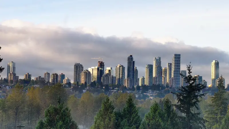
Deer Lake
Deer Lake is central but not directly beside a SkyTrain station. Bus, walking, cycling or driving may be more practical depending on the starting point.
Driving
A car is useful for multi-stop park days and family trips, but congestion on major roads can remove the apparent advantage. Event parking at Deer Lake and popular parks can be limited.
Walking
Metrotown, Brentwood and parts of Burnaby Heights are walkable within their own districts. Burnaby as a whole is too large and hilly to treat as one walkable centre.
Cycling
Greenways and local routes can make cycling practical, but terrain varies sharply. Burnaby Mountain is a serious climb, while central valley routes are much gentler.
Plan the return trip
The trip home deserves as much attention as the arrival. Check evening bus frequency, event crowds and weather before depending on a connection late at night.
Start with the exact address
Burnaby covers a large, hilly area and a destination name can hide substantial travel time. Before choosing transportation or accommodation, put the complete address into the route planner. Metrotown, Brentwood, Lougheed, Deer Lake and Burnaby Mountain create very different arrival patterns.
Compare the complete trip, not one leg
SkyTrain can make Burnaby easy to reach, but some final destinations require a bus, walk or taxi. Driving may look faster until parking and congestion are included. Compare door-to-door time, luggage, passenger needs and the return journey rather than judging a mode by one segment.
Build margin around fixed obligations
Flights, concerts, medical appointments, tournaments and reservations need extra time. Work backward from the required arrival time and add a realistic buffer for traffic, transit connections, parking or weather. Burnaby's central location helps, but it does not remove regional congestion.
Before you go
Burnaby changes through construction, seasons, events and service updates. Confirm hours, closures, admissions, transit and accessibility with the responsible organization when those details affect your trip.
Continue planning
Use our Burnaby things to do guide, neighbourhood guide, getting around Burnaby guide and trip-planning guide to connect this page with the rest of your visit.
Before you make a decision
- Confirm the exact place. Burnaby neighbourhood names and park names can cover larger areas than a visitor expects.
- Test transportation. Compare the complete driving, transit and walking route at the time you will actually use it.
- Check current conditions. Verify hours, closures, events, trail notices and facility information with the responsible organization.
- Keep the day realistic. One strong anchor plus one or two nearby stops usually creates a better Burnaby day than a citywide checklist.
When a group needs one vehicle
Transit is often the simplest way to move between Burnaby's town centres, but it is not ideal for every trip. Families with substantial luggage, sports teams and groups making several stops can also compare pre-arranged group transportation with multiple taxis, rideshares or rental vehicles. The right choice depends on the exact addresses rather than the neighbourhood names alone.
Useful official resources
Use these sources for details that can change after this guide is published.