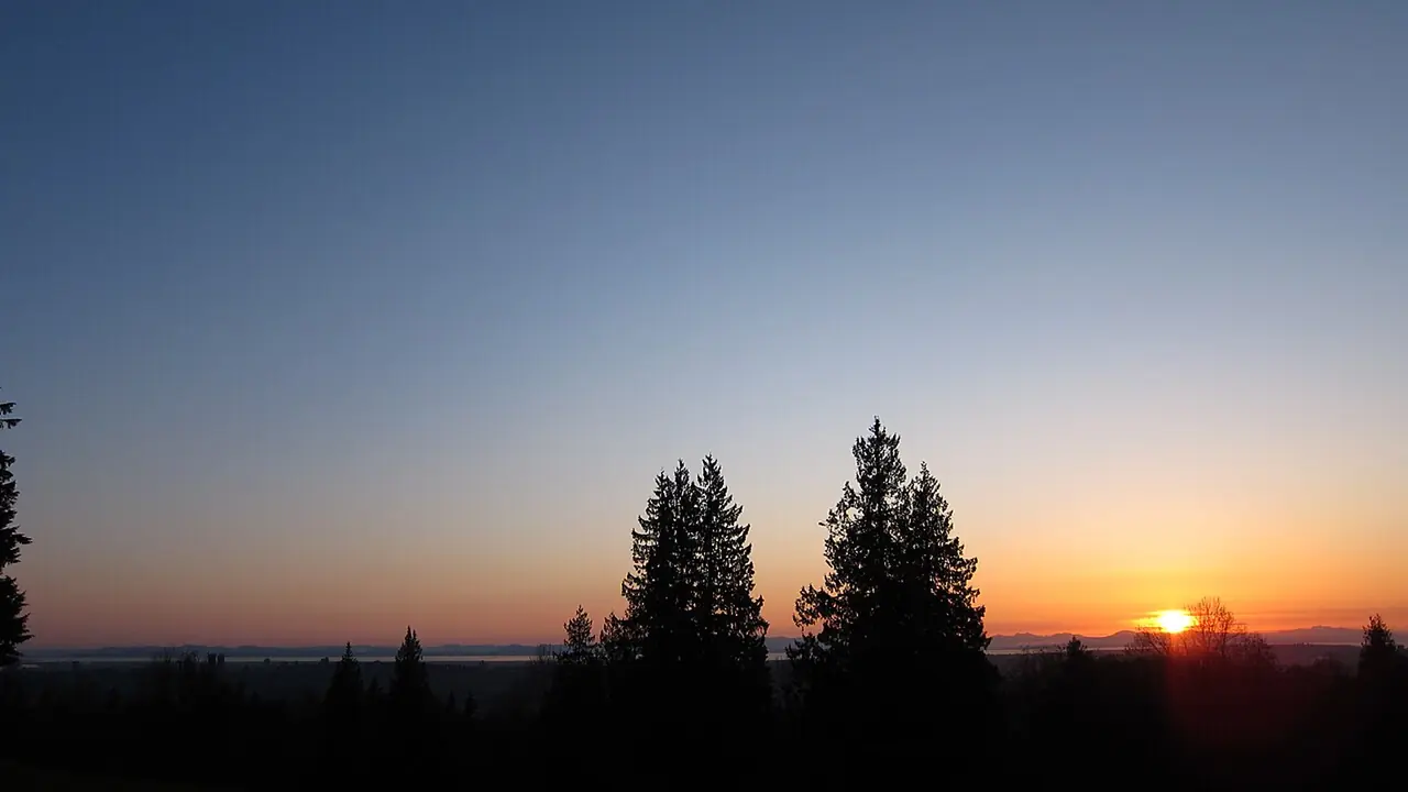
Why the mountain feels separate
Burnaby Mountain rises above the rest of the city and creates its own travel and weather conditions. Simon Fraser University's main campus occupies the summit area beside a large conservation area, so a visit can combine architecture, campus life, forest trails and viewpoints.
Burnaby Mountain Conservation Area
The conservation area covers about 576 hectares. Trails range from easier walks to steep routes such as the Velodrome trail. Forest, wildlife and slope conditions mean this should be treated as a real outdoor outing rather than a paved city viewpoint.
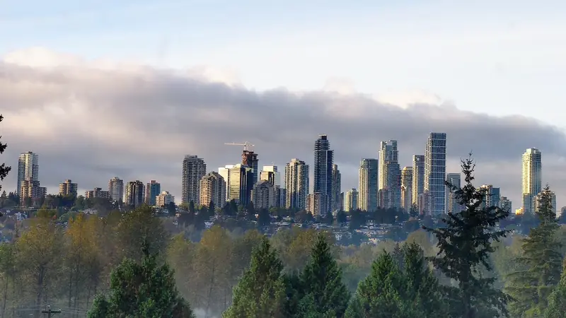
Simon Fraser University
SFU adds food, services, public spaces, events and notable architecture. Campus buildings and plazas can be interesting even for visitors without university business, though building access and event schedules vary.
Getting up the mountain
Public buses connect the campus with SkyTrain and lower Burnaby. Drivers should check parking rules and current road conditions. Cycling up the mountain requires fitness and route planning.
Weather and winter
The summit can be colder, foggier or snowier than Metrotown and other lower areas. In winter, check conditions before travelling. Even in summer, evening temperatures can drop quickly.
Wildlife and trail safety
Deer, coyotes and other wildlife live in the conservation area, with occasional reports of larger animals. Stay on designated routes, follow posted notices and keep dogs controlled.
Best way to plan a visit
Allow at least several hours if combining a campus walk with a trail or viewpoint. Burnaby Heights can be added before or after, but Deer Lake and Metrotown belong to a different geographic cluster.
Who the mountain suits best
Burnaby Mountain works well for SFU students and staff, hikers, people who value views and residents comfortable with a distinct hilltop environment. It is less suitable for someone who expects the same flat walkability and weather found around Metrotown.
A practical visit plan
Start with the campus or summit viewpoint, then choose one trail that fits available daylight and ability. Stop for food on campus before descending. Avoid adding Deer Lake and Metrotown unless the visit is a full-day regional itinerary.
Living here: what to test
Check bus frequency at the hours you will travel, winter road conditions, grocery access and how often you need to leave the mountain. The setting can be attractive, but the elevation is part of everyday logistics.
Nearby connections
Production Way-University and other lower Burnaby transit points act as gateways to the mountain. Burnaby Heights and Brentwood are logical lower-elevation additions to a north Burnaby day.
Before you go
Burnaby changes through construction, seasons, events and service updates. Confirm hours, closures, admissions, transit and accessibility with the responsible organization when those details affect your trip.
Continue planning
Use our Burnaby things to do guide, neighbourhood guide, getting around Burnaby guide and trip-planning guide to connect this page with the rest of your visit.
Before you make a decision
- Confirm the exact place. Burnaby neighbourhood names and park names can cover larger areas than a visitor expects.
- Test transportation. Compare the complete driving, transit and walking route at the time you will actually use it.
- Check current conditions. Verify hours, closures, events, trail notices and facility information with the responsible organization.
- Keep the day realistic. One strong anchor plus one or two nearby stops usually creates a better Burnaby day than a citywide checklist.
Useful official resources
Use these sources for details that can change after this guide is published.